 June 30,2023
 June 30,2023
Recreational cyclists have convenient access to paths and trails across Palo Alto and loops extending beyond the city west toward the Pacific coast or east along San Francisco Bay.
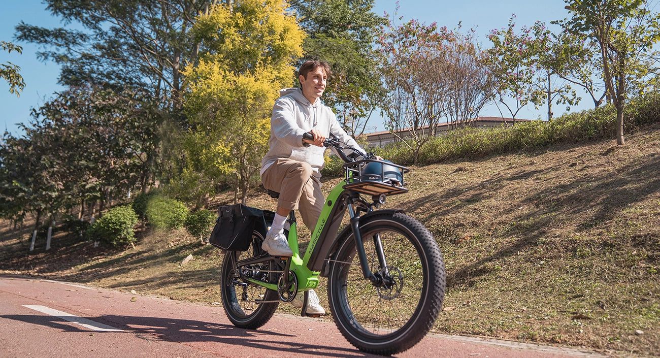
While many Palo Alto bikers cobble together a route from main roads, residential streets and bike bridges, several dedicated hybrid ebike paths wind through the town, bike paths dot the town -- short and long, recreational and strenuous, full-fledged trails and brief road connectors.
1.Stanford Campus Walk
Stanford Campus Walk is a 5.1 kilometer loop trail located near Stanford, California. The trail is good for all skill levels and is primarily used for walking. Dogs are also able to use this trail.
With its miles of flat, eucalyptus-shaded, paved paths cutting through the bulk of Palo Alto's western side, Stanford University provides both an aesthetically pleasing and bike-friendly environment. The university publishes its own PDF map of bicycle routes in the Stanford area, both in Palo Alto and neighboring towns, on its website Bicycling at Stanford. Most dedicated paths through campus are closed to motor vehicle traffic, and western routes, such as the Stanford Dish, provide hilly trails for those looking for a more strenuous ride.
2. Bryant Street Bike Boulevard
Palo Alto's main express roads, including Alma, El Camino, Embarcadero and Middlefield, are narrow and do not include bike lanes, and the city's residential streets, though well-paved and shaded, contain frequent four-way stop signs. To combat these impediments to bike commuters, Palo Alto pioneered the bike boulevard concept. By removing stop signs and instituting traffic-calming devices, such as barriers restricting cars to one-way traffic, the city transformed the northbound-southbound Bryant Street into a special express route for bikes through the city. Bryant connects north to Menlo Park with a bike bridge over the San Francisquito Creek.
3. Palo Alto Baylands
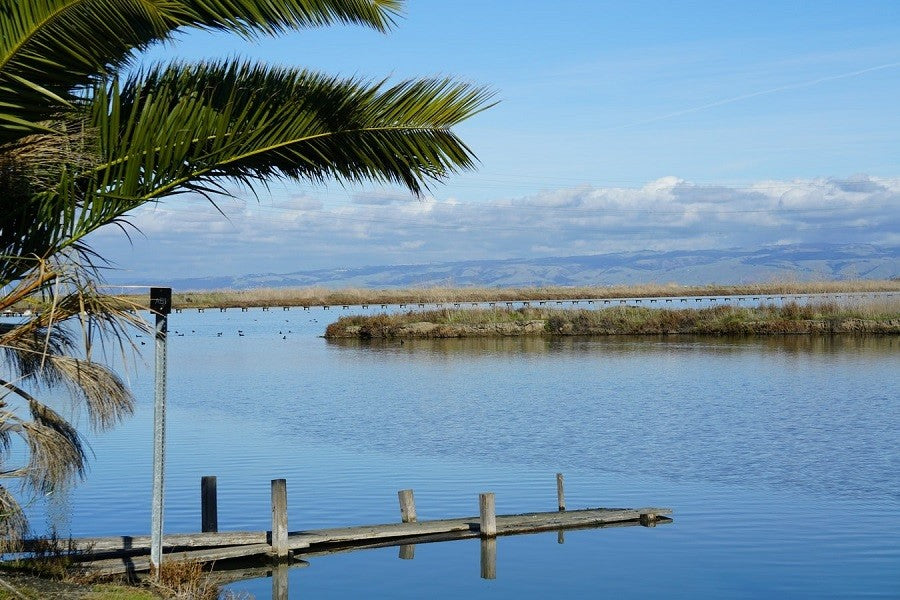
Along the eastern edge of Palo Alto, the Palo Alto Baylands Nature Preserve extends for 2,100 acres of protected wetlands. Bird watchers frequent the baylands for their impressive array of winged wildlife, while others prefer the area at dawn, when the sunrise colors the marshes and shallow bay waters. Trails at Baylands include the 3.2-mile San Francisco Creek Trail, the flat .7-mile Duck Pond Loop and the 5.6-mile Adobe Creek Loop Trail, which features views of the bay and consists of paved flat terrain. After a bicycle ride, launch a canoe or kayak to explore the waters of the preserve or spread out a picnic lunch on one of four available tables.
4.Pearson-Arastradero Preserve
In the foothills of the Santa Cruz Mountains, the Pearson-Arastradero Preserve offers serious recreational bikers mountain trails ranging from 275-to-775-feet in elevation. The California Department of Fish and Game administers the preserve, a natural habitat for mountain lions, deer, bobcats, coyotes and birds. Nearly 7 miles of trail are open year-round, while the remaining 3.6 miles close in the rainy season. The preserve entrance lies on Arastradero Road, where there is also a parking lot available.
5.Embarcadero Bike Path
Enter the city-maintained Embarcadero Bike Path (cityofpaloalto.org) from Encina Avenue, Embarcadero Road or Churchill Avenue to ride on a continuous path connecting to the north and south. The path is lit for evening or early morning riding and travels behind Palo Alto Medical Foundation, Palo Alto High School and Town and Country Village. Continue riding south to Mountain View or northwest toward Menlo Park on an extended pathway system traversing the Palo Alto area.
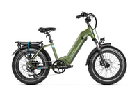
Magicycle 52V Most Powerful ALL Terrain Ebike Only $1589!10% OFF for All Accessories. Limited Offer. Don't miss it! Free Shipping for Order over $50.


