


 July 02,2023
July 02,2023
July 02,2023
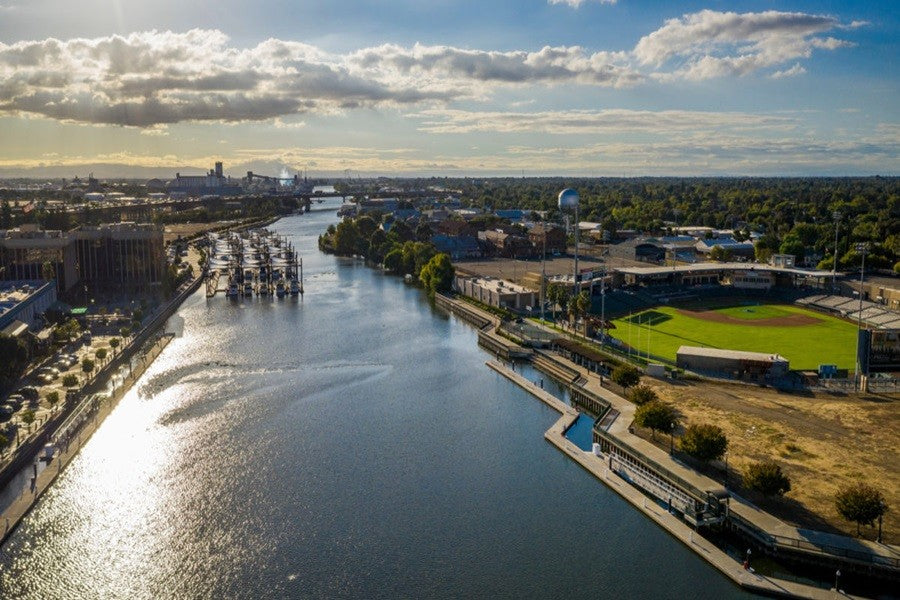
Stockton is located in the northern portion of the San Joaquin Valley in Central California. It is 2 hours west of Downtown San Francisco and an hour south of Sacramento. The city is situated on the San Joaquin River and has the largest inland seaport on the west coast. It is surrounded by agricultural fields but is also near vineyards and 1000 miles of waterways on the California Delta.
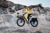
The weather in Stockton is great for year-round electric biking. Temperatures start to go up in the summer so I start my ride earlier in the day. Problem solved. Being a seaport city, we enjoy a “delta breeze” most days of the year. The breeze is great when it's at your back, and we call it the “Stockton hills” when it's in your face. It is a nice addition to early morning rides, but can be quite a bit stronger in the late afternoon. The breeze generally comes in from the west but many cyclists share stories of riding in all four directions and getting headwind in three.
Route1#- French Camp Slough Trail
The French Camp Slough Trail, also known as the San Joaquin River Trail, is located in the residential area on the south side of Stockton, parallels both waterways on levees in the southern reaches of Stockton. Near its midpoint, the trail connects to the Pacific Gas and Electric Greenbelt, offering deeper access into the Weston Ranch neighborhood.
Parking for the French Camp Slough Trail is available at Paul E. Weston Park on Ishi Goto Street. From the park, head north on the Pacific Gas and Electric Greenbelt for less than half a mile to reach the fat tire ebike trail.
the paved path is 2.7 miles long. It wraps around the Weston Ranch neighborhood along the San Joaquin River then turns and heads east stopping at Carolyn Weston Road near the interchange with Interstate 5.
The route is exposed with no shade, so be sure to bring water and wear sunscreen.
Route2#- Calaveras River Pedestrian Path
Calaveras River Pedestrian Path is a 6.8 miles lightly trafficked out and back trail located near Stockton, California that features a river and is good for all skill levels.
The Calaveras River is a river in the San Joaquin Valley of California. The Spanish word Calaveras means "skulls." The river was said to have been named by Spanish explorer Gabriel Moraga in 1806 when he found many skulls of Native Americans along its banks. The trail is primarily used for hiking, walking, running, and fishing.
Route3#-Brookside Road San Joaquin River Trail
Brookside Road San Joaquin River Trail is a 6.3 kilometer out and back trail located near Stockton, California that features a river and is rated as moderate. The trail is primarily used for hiking and bird watching.
It's a paved county road that you find cars on sometimes. You see a lot of boats and people jogging. You can ride a bicycle aown it. On your left you see boat,s and the river/delta. On your right you see farmland and empty blue sky's. The further out you go the more windy it gets. If you look across the river you will see Windmill Cove Bar and Grill along with the residence of Vulcan island.
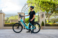
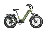
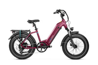
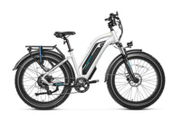
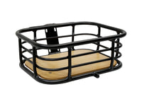
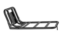
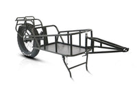
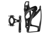
Magicycle 52V Most Powerful Fat Tire Electric Bikes Only $1589!10% OFF for All Accessories. Limited Offer. Free Shipping!
The weather in Stockton is great for year-round electric biking. Temperatures start to go up in the summer so I start my ride earlier in the day. Problem solved. Being a seaport city, we enjoy a “delta breeze” most days of the year. The breeze is great when it's at your back, and we call it the “Stockton hills” when it's in your face. It is a nice addition to early morning rides, but can be quite a bit stronger in the late afternoon. The breeze generally comes in from the west but many cyclists share stories of riding in all four directions and getting headwind in three.
Route1#- French Camp Slough Trail
The French Camp Slough Trail, also known as the San Joaquin River Trail, is located in the residential area on the south side of Stockton, parallels both waterways on levees in the southern reaches of Stockton. Near its midpoint, the trail connects to the Pacific Gas and Electric Greenbelt, offering deeper access into the Weston Ranch neighborhood.
Parking for the French Camp Slough Trail is available at Paul E. Weston Park on Ishi Goto Street. From the park, head north on the Pacific Gas and Electric Greenbelt for less than half a mile to reach the fat tire ebike trail.
the paved path is 2.7 miles long. It wraps around the Weston Ranch neighborhood along the San Joaquin River then turns and heads east stopping at Carolyn Weston Road near the interchange with Interstate 5.
The route is exposed with no shade, so be sure to bring water and wear sunscreen.
Route2#- Calaveras River Pedestrian Path
Calaveras River Pedestrian Path is a 6.8 miles lightly trafficked out and back trail located near Stockton, California that features a river and is good for all skill levels.
The Calaveras River is a river in the San Joaquin Valley of California. The Spanish word Calaveras means "skulls." The river was said to have been named by Spanish explorer Gabriel Moraga in 1806 when he found many skulls of Native Americans along its banks. The trail is primarily used for hiking, walking, running, and fishing.
Route3#-Brookside Road San Joaquin River Trail
Brookside Road San Joaquin River Trail is a 6.3 kilometer out and back trail located near Stockton, California that features a river and is rated as moderate. The trail is primarily used for hiking and bird watching.
It's a paved county road that you find cars on sometimes. You see a lot of boats and people jogging. You can ride a bicycle aown it. On your left you see boat,s and the river/delta. On your right you see farmland and empty blue sky's. The further out you go the more windy it gets. If you look across the river you will see Windmill Cove Bar and Grill along with the residence of Vulcan island.
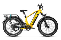
Magicycle 52V Most Powerful Fat Tire Electric Bikes Only $1589!10% OFF for All Accessories. Limited Offer. Free Shipping!


